The East Fork
The East Fork Lewis River has its source in the SW corner of the Gifford Pinchot National Forest. It flows freely through the Clark County countryside and the town of La Center, joining the main Lewis just below Woodland.
East Fork Lewis River Greenway
This site includes more than 1,000 acres of waterfront property along both banks of the East Fork Lewis River between Paradise Point State Park north of La Center and Daybreak Park north of Battle Ground. It is part of an interconnected, 10-mile greenway system.
The entire greenway is state-designated priority habitat for large concentrations of migratory waterfowl, wintering bald eagles, and high-quality riparian habitat. Most of the greenway is open to the public, but is not developed.
You are not allowed to view links.
Please Register or Login
East Fork Lewis River Watershed


You are not allowed to view links.
Please Register or Login
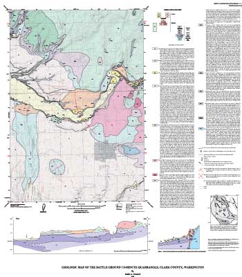
Geologic Map of the Battle Ground 7.5-Minute Quadrangle, Clark County, Washington]
Linkback: You are not allowed to view links.
Please Register or Login
http://www.thunting.com/smf/index.php/topic,3470.msg24147.html#msg24147
http://www.bgsd.k12.wa.us/hml/jr_cam/macros/site_images/e_fork_fallb.jpg
http://www.bgsd.k12.wa.us/hml/jr_cam/macros/site_images/efl_nov-06b.jpg
http://pubs.usgs.gov/mf/2002/2395/images/bgweb.jpg
|
« Last Edit: February 14, 2009, 07:41:21 am by oRo »
|
 Logged
|
|


